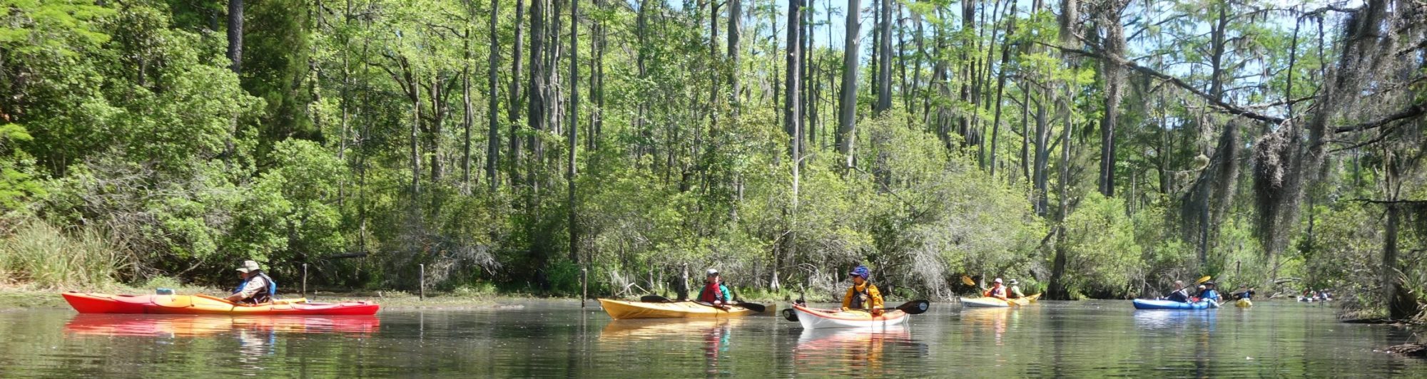
Twin Rivers Paddle Trails
The Twin Rivers Paddle Trails Packet introduces paddlers to 250 miles of mapped trails and 30 launch sites throughout the county. The 25 paddle trips and information are provided to improve your knowledge and understanding of the area, hopefully increasing your enjoyment of paddling and perhaps making for a safer trip.
Disclaimer
These trail guides are not intended for use as a navigational map for the Neuse or Trent rivers or their tributaries. The originator of these paddle trail guides assumes no liability for any injury or damage of any type whatsoever incurred due to their use. Every attempt has been made to ensure accuracy. However, some portions may not be shown to scale nor identify all landmarks or hazards. The use of USGS maps for the area of exploration is highly recommended. Paddling is an inherently dangerous sport. Paddlers should know their limitations, use common sense, and take precautions to avoid accidents and injuries.
The following links are provided:
Twin Rivers Paddle Trails Maps & Details
Twin Rivers Paddle Trails Packet
Parks & Recreation Department, Craven County Government